PATTERN OF LIFE IN TIME AND SPACE
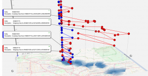
GeoTime is a powerful tool for understanding time-space data faster using 3D. Watch behavioral patterns develop over a 2D map using GeoTime’s unique third axis: time.
GeoTime® for Law Enforcement
The industry’s only 3D mapping and analysis tool, capturing time and space.
Used by UK Law Enforcement and MOD for rapid analysis of data sets, further combined in time and space and visualised with the patented 3D and Calendars views. Consistent feedback from our Worldwide users allows for development specific to the users, with automated analysis ‘pattern’ tools finding those key locations and meetings that the eye can miss.
Adorned with additional capabilities directly requested from users e.g Flexible pivot tables, network link charts and bespoke but rapid reporting directly to PowerPoint and Excel all being standard functions.
IMPORT

ANALYSIS

REPORTING

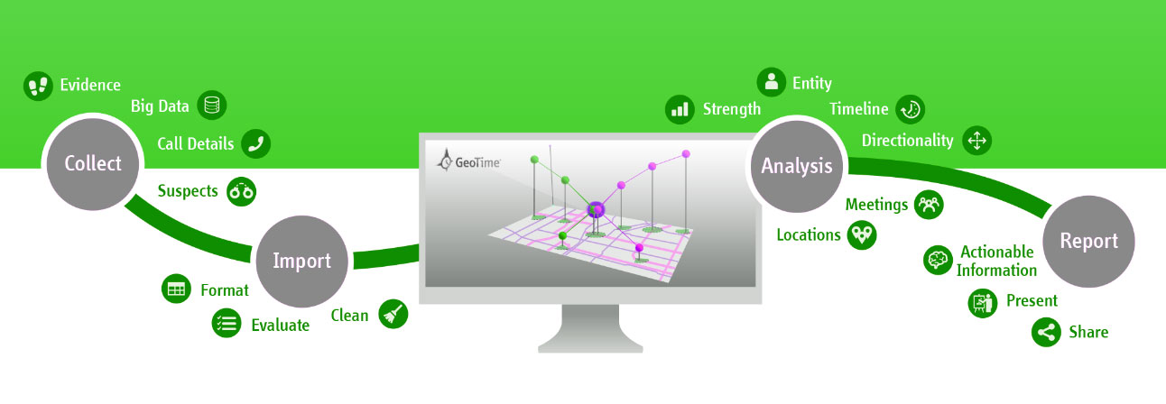
Cleans and Formats Data: Aided with our integrated cleansing and normalising tool (Glimpse) for common data sets e.g. CDR data, ANPR (inc. direct from BOF or NAS), Telematics, Cellebrite, XRY, Social Media exports, Google Location history enabling all data to be viewed separately or together in an holistic view.
See better in 3D: GeoTime’s 3D timeline shows the stories hidden by traditional mapping and GIS tools
Chart Analysis: Easily identify top callers, top locations, time of day and relationships between entities
Automated Analysis Tools: Automatically find meetings, important locations and gaps in your data to place targets at the crime
One-Click Report Publishing: Outputs visuals as PowerPoint, animated videos & images; high-impact courtroom presentations
Animated Videos: Present target movement over time by sharing animated videos with investigators, analysts and courtroom presenters
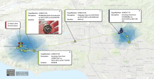
Annotating and Map Graphics: Mark up maps with notes and annotations to help tell your story

GeoTime® Glimpse for Investigators
No more waiting – Ask your questions. Get instant answers. Quickly and clearly see where your suspect has been.
DRAG & DROP
Instant uploading and processing of your RAW data files in a simple Drag and Drop interface
Formats Supported:
UK NCDS CDR’s, Cellebrite UFED, XRY, Google Location history, Uber Location reports, Berla iVe (Telematics) and more
GET ANSWERS
See all your suspect’s activities mapped over time.
Make sense of your CDR and Cellebrite data
Easily identify top callers, top locations, time of day and relationships between phones.
Get instant answers to these questions:
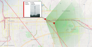
Was your suspect’s phone near the crime?
Who were they calling before and after the crime?
Where were they making those calls from?
TAKE ACTION
One-Click Reporting
Take snapshots of the analysis, or export your work for further analysis with your team.
Identify Additional Suspects
Quickly find persons of interest from your suspect’s frequent contacts.
Verify Alibis and Submit for Warrants
See key information at a glance so you easily verify an alibi – allowing you to quickly take action.
SEND THE DATA TO GEOTIME FOR DEEPER ANALYSIS
Analyse multiple data sets together, containing time and location, such as:
Communications Data
Mobile Forensic
Social Media
GPS Data

Vehicle Telematics
Video produced from Vehicle Telematics data by a UK Law Enforcement DMI Officer and shown to the suspect of the fatal hit and run incident. The suspect pleaded guilty.
info@JTOL.co.uk | Birmingham, UK
Telephone +44 3301 075930
Whether you want to work with us, find out more about a trial or simply just want to contact us, complete the form on the right and we will get back to you as soon as possible.
We will not use your contact details for any other purpose than for making contact and as part of our privacy policy, we will not share your details with any third party.

